
Site plans explained: the drawing that stops planning applications stalling
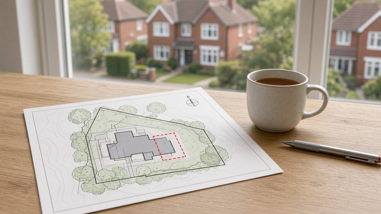
A clear site plan shows the house, boundaries and where proposed works would sit — before a council ever looks at the design.
If you’re extending a house in Weybridge, or anywhere else in Surrey, the exciting part of planning is rarely the paperwork. Most people obsess over the design. Councils, meanwhile, start somewhere much quieter: can they identify the plot, read the boundaries, and trust that the drawings match each other?
That is where a site plan earns its keep. Get it right and validation is usually uneventful. Get it wrong and the application can bounce before anyone debates materials, height or neighbour amenity.
What is a site plan?
A site plan (sometimes called a block plan) is a scaled drawing of your property and the land immediately around it. It shows the existing buildings, the boundary, access, and where any new work would sit.
Think of it as the “close-up” sheet in a planning pack. It does not need to show the whole neighbourhood — that job belongs to the location plan — but it does need enough context for an officer to see how the proposal sits on the plot.
Site plan vs location plan (and why both matter)
These two drawings get mixed up constantly.
- Location plan / site location plan — wider context, usually 1:1250 or 1:2500, with the application site edged in red.
- Site plan / block plan — plot-level detail, commonly 1:200 or 1:500, showing buildings, boundaries and the proposal.
Officers read them as a pair. If the red line on the location plan does not match the site plan, or the proposed footprint disagrees with the elevations, the pack looks unreliable. That is one of the simplest ways to create a delay you did not need.
What scale should a site plan use?
Scale is not a design flourish. It decides whether distances are readable.
- 1:200 site plan — common for tighter urban or suburban plots where detail matters.
- 1:500 site plan — useful for larger gardens or where more surrounding context is needed on one sheet.
Whatever you choose, state the scale clearly, keep a north point, and check the exported PDF still prints true. A plan that looked fine on screen can become misleading if it is flattened to the wrong paper size.
What a good site plan for planning usually includes
Requirements vary by council, but strong packs tend to show:
- The property boundary as a clear continuous line.
- Existing buildings and the proposed works, easy to tell apart.
- Access, parking and key neighbouring structures where relevant.
- North point, scale and enough surrounding detail to identify the site.
- Consistency with the floor plans, elevations and written description.
For householder projects around places like Weybridge — rear extensions, garden rooms, loft conversions — the recurring trip-ups are familiar: wrong plot on a street of similar houses, red line drawn too tight, or an old conservatory left off the “existing” drawing.
Common site plan mistakes that slow applications down
Most of these are boring. They still burn weeks.
- Using a consumer map screenshot instead of a scaled, licensed base.
- Missing north point or unclear scale.
- Proposed extension drawn differently on the site plan and elevations.
- Boundary that does not match ownership or access reality.
- Out-of-date mapping that ignores recent buildings or altered drives.
None of that guarantees refusal. It does invite “please amend and resubmit” emails while scaffold quotes go stale.
A practical checklist before you submit
Before the portal upload, run one final pass:
- Do the location plan and site plan describe the same site?
- Does the proposed footprint match every other drawing?
- Is the scale suitable and stated for the paper size?
- Would a stranger to the street still recognise the property?
- Have local validation notes been checked (they differ between authorities)?
If you can answer yes to those, the design conversation can start on stronger footing.
Getting a planning-ready site plan without the headache
You do not need to become a cartographer to submit a clean pack. Many homeowners and small practices use specialists for a planning-ready site plan based on Ordnance Survey mapping for the exact address. Planning Maps UK prepares site, block and location plans for planning permission — useful when you want drawings that match what validation teams expect, without turning a simple extension into a drafting project.
A clear site plan will not win permission on its own. Policy, design and neighbour impacts still decide the outcome. What it will do is stop avoidable paperwork from becoming the story of the project — which, for most householder applications, is exactly the point.